Suburban · Scenic
Anaheim Hills
Eastern Anaheim rises from the Santa Ana River into planned hillside neighborhoods, open-space preserves, trailheads, and a quieter suburban landscape.
- ZIP code
- 92807 and 92808
- Best for
- Trails, parks, scenic drives, quiet stays, and sunset views
- Getting around
- A car is practical; hills and separated centers limit walkability
Where Anaheim rises
Anaheim Hills is the city's eastern, elevated district, beginning beyond the Santa Ana River and climbing toward the foothills and canyon country. Its curving streets, planned subdivisions, ridgeline homes, shopping centers, and open spaces contrast sharply with central Anaheim's flat grid. Development accelerated in the late twentieth century, so architecture tends toward ranch, Mediterranean, and later suburban styles rather than the Craftsman and Victorian houses found in the Colony.
The name describes a broad area rather than one small neighborhood. Western sections in 92807 sit closer to Imperial Highway, the 91 freeway, and Anaheim Canyon employment areas. Farther east, 92808 extends toward Weir Canyon and larger preserved landscapes. Elevation creates city-light and mountain views, but it also makes trips longer than they appear on a map. A destination only a few miles away may require winding downhill to one of the main roads before turning west.
Trails and open space
Oak Canyon Nature Center is the area's signature public landscape. Its oak woodland, seasonal creek, interpretive center, and trail network provide a shaded, human-scale alternative to exposed ridge hikes. Routes vary in grade and conditions, and wildlife is part of the setting, so visitors should stay on marked paths and carry water. Deer Canyon Park Preserve, Canyon Rim Park, and Ronald Reagan Park add more opportunities for walking, playground time, and views.
The natural setting brings responsibilities that are less visible in western Anaheim. Hot, dry weather raises wildfire risk, and some homes sit in very high fire-hazard zones. Trail users should respect closures and avoid any flame or spark source. Coyotes and other wildlife move through washes and open land, especially around dawn and dusk. Summer outings are best early in the morning; afternoon heat and limited shade can make even short climbs difficult. After rain, check whether trails are open before driving to a trailhead.
Daily life and getting around
Daily life is organized around schools, parks, community centers, and commercial nodes along Imperial Highway, Santa Ana Canyon Road, Weir Canyon Road, and Nohl Ranch Road. The district is generally quieter at night than central Anaheim and has fewer visitor-oriented businesses. That makes it appealing for travelers seeking a residential base, though it is not convenient for walking to the theme parks. Driving to the Resort can be straightforward off-peak and frustrating when the 91 or local connectors are congested.
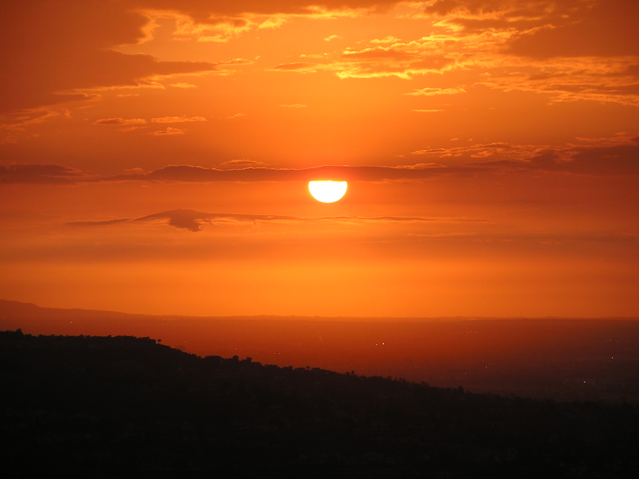
For a first visit, combine Oak Canyon Nature Center with a scenic drive along Santa Ana Canyon Road and a sunset stop at a public park. Do not use private residential streets as overlooks or block driveways for photographs. The best views are often available from designated public spaces without disturbing residents. Anaheim Hills expands the idea of Anaheim beyond resorts and stadiums: this is a foothill community shaped by topography, planned growth, fire awareness, and daily proximity to the Santa Ana Mountains. Spring can bring green slopes and wildflowers, while late summer and fall usually show the landscape at its driest. Conditions vary year to year, so current park guidance is more useful than assumptions based on the season alone.