A city through the decades
Anaheim in the 1930s
Citrus groves, downtown storefronts & a river in flood
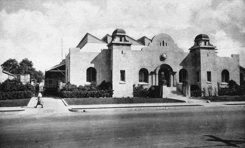
Before the resort signs and freeway interchanges, Anaheim was a small agricultural city. In the 1930s, packing houses, neighborhood shops and orange groves defined its landscape. The Great Depression shaped everyday choices; the Santa Ana River flood of 1938 exposed how vulnerable that familiar landscape could be.
- Population · 1930 census
- 10,995
- City of Anaheim
Life in 1930s Anaheim
A working town among the groves
Anaheim's vineyard-colony beginnings were already several generations in the past. After the vine disease of the 1880s, citrus became the crop most closely associated with the city. During the 1930s, orange trees and agricultural land still surrounded the built-up center. Packing buildings linked growers to the railway and to customers far beyond Orange County. Their purpose was practical: sort, pack and move perishable fruit, rather than welcome diners and visitors.
That distinction matters when looking at an old photograph. The Anaheim Packing House that visitors know today was a workplace in this decade. Its loading areas, nearby tracks and industrial architecture belong to the story of labor and transportation as much as to the story of oranges. Growers, packing workers and businesses serving agriculture were all part of the same local economy; prosperity was not shared equally among them.
Main streets before the resort
Downtown life centered on the original colony's street grid. Storefronts, banks, churches, schools and homes gave Anaheim the proportions of a small city, rather than a sprawling regional destination. Los Angeles Street, later renamed Anaheim Boulevard, and Center Street were important reference points. Historic views can show commercial blocks that no longer survive, so familiar street names do not guarantee familiar buildings.
The Great Depression formed the national backdrop, but an archival image rarely tells the whole economic story. A busy street or well-kept shop window is not proof that families were insulated from unemployment or hardship. Reading photographs alongside the city's historical collections helps separate the visible streetscape from assumptions about how comfortably its residents lived.
1938: water changes the story
Heavy storms in March 1938 sent the Santa Ana River across its floodplain. Anaheim was among the Orange County communities affected. Flood photographs record streets, homes and commercial areas surrounded by water; they are evidence of a disaster, not merely picturesque views of old cars and buildings. Regional casualties should not be confused with a city-only total.
The flood also helps explain the engineered river landscape seen today. Flood protection became a major regional priority, although modern channels and dams developed over time rather than appearing overnight. Looking back at the 1930s means seeing both the familiar citrus town and the risk built into its river-fed setting. Anaheim's agricultural success and its exposure to flooding grew from the same geography.
The photographic record
Anaheim, in still frames
The moving picture archive
A window into another Anaheim
Original Anaheim moving footage from this decade could not be verified. This modern city-history retrospective offers broader context; it is not presented as a film shot in the period or as a decade-specific documentary.
History love
Anaheim California History | From Vineyards to Disneyland and Beyond
Modern city-history retrospective, not original footage from this decade. A broader introduction to Anaheim's vineyard, citrus and destination eras.
Historical footage and modern uploads are identified separately. Videos belong to their respective creators; YouTube playback availability can change.